52 Hike Challenge: It's On!
Yes, that's right! After talking about taking on the 52 Hike Challenge for the past few months, I'm finally officially committing myself to it. This means that I will complete (at least) 52 hikes within this next year, starting with a family hike I completed on November 6th, 2016. I want to use this challenge not only as an incentive to get out and about, but also to demonstrate that even with a full-time job and other responsibilities, anybody can get out and hit the trails! Commit to the 52 Hike Challenge and #optoutside. Click on each hike's header for maps and additional resources. Read on for the list of my hikes, that I will add to as I complete them:
1. Briones Regional Park, CA - November 6, 2016
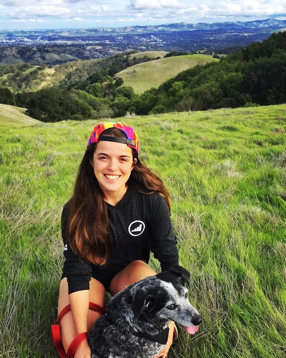
I had family members in town over the weekend and we wanted to get out and enjoy some East Bay scenery. We landed on a modest hike through Briones Regional Park (where I used to camp when I was a lil' Girl Scout). I've been hiking in Briones my whole life, and being able to hike it with my extended family was pretty special. We started out at the Bear Creek Staging Area and set out along the Abrigo Valley Trail, continuing past the Maud Whalen and Wee-Ta-Chi campgrounds, looping around to the right to the tops of the hills where you get epic views of Concord, Pleasant Hill and Walnut Creek. All-in-all, we hiked around 5 miles, with some hills that might challenge some. A great time was had by all!
2. Upper Yosemite Falls and Yosemite Point (Yosemite National Park, CA) - November 12, 2016
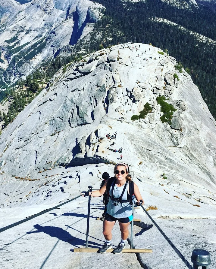
I can never stay away from Yosemite for too long, so my friend Josh and I had to make one last trip before the snow began to fall and the trails became too icy, closing for the season. We stayed in a canvas tent in Half Dome Village for $110/night. Not too steep a price to pay to stay right in Yosemite Valley and wake up so near the trailhead. Bright and early the morning of November 12, we began at the trailhead near the Camp 4 area, on the Valley Loop Trail, and continued up, up, up the Yosemite Falls Trail to get to the top of Upper Yosemite Falls. The hike from the Valley floor to the top of Upper Yosemite Falls is 7.2 miles round trip, which doesn’t sound too daunting. The elevation change is really what makes this hike strenuous, with 2,700 ft (823 m) of elevation gain.
The beginning of the trail contains a lot of switchbacks, which can be a bit frustrating, but the views you encounter further along the hike are well worth it. Once at the top of Yosemite Falls, we continued along to Yosemite Point, adding 1.6 miles roundtrip to our mileage for the day. This trail contains many epic viewpoints with stunning views of Yosemite Valley, Half Dome and Sentinel Rock, the first being Columbia Rock one mile into the trail. This might be a good option for those that can’t continue the strenuous hike to the top of Yosemite Falls.
3. Sentinel Dome and Taft Point (Yosemite National Park, CA) - November 13, 2016
The morning of November 13, Josh and I headed to Tunnel View to take in sunrise over Yosemite Valley. I highly recommend doing this if you get the chance. There’s nothing like seeing the sun slowly rise from behind Half Dome and cast a beautiful glow over El Capitan. After sunrise, we went to the trailhead for Sentinel Dome/Taft Point and began the loop to hit both. Sentinel Dome is only a 1.8 mile roundtrip hike from the trailhead and Taft Point & The Fissures are only a 2.2 mile roundtrip hike from the same trailhead. The full loop that we hiked was 4.9 miles. We hiked to Sentinel Dome and then continued along the trail north to the Pohono Trail junction. The Pohono Trail led us down into Sentinel Creek before ascending to the Taft Point Trail junction. From the junction, Taft Point was half a mile away.
This loop was pure magic and I would certainly recommend it to anyone. Unlike the Upper Yosemite Falls hike, this loop is relatively flat. We were greeted with awesome views of Half Dome and Yosemite Falls atop Sentinel Dome. We were the only people there because we had gotten such an early start and it was amazing! At Taft Point, we were also greeted with views of Yosemite Falls and one of those “Sorry Mom” viewpoints where you can get an awesome perspective shot standing on Taft Point over the Valley. We also saw some people setting up their slacklines over the Fissures, which was a straight drop off to the Valley floor. I’m willing to try a lot of things, but that’s one activity that I think I’ll have to pass on.
4. SF Native Tours Urban Hike (San Francisco, CA) - November 19, 2016
I’m including this tour as an urban hike on my list because it was so freakin’ cool. I signed up for the SF Native Tours walk called “Parks, Pints, Politics,” and learned so much about my home city. The entire hike was about 4 miles, starting on the corner of Haight & Ashbury and ending in the Mission. We started at Magnolia Gastropub and Brewery and our guide told us the history of the hippie movement. We continued on through Buena Vista Park and up to Corona Heights, one of my favorite viewpoints of San Francisco (even better than Twin Peaks in my humble opinion.)
We walked on down to the Castro where we got Hot Cookie and our guide told us some history about the LGBT revolution. The last stop was the Mission, where we stopped in for empanadas at Woods Cerveceria near Dolores Park. We also walked through Clarion Alley in the Mission, where the guide explained the beautiful politically charged graffiti. We ended with a pint at Zeitgeist. I truly loved this experience. I learned so much and we covered a lot of ground in the four-hour tour.
5. Spencer Butte Park (Eugene, OR) - November 24, 2016
I was visiting Eugene, OR over Thanksgiving and it became the home base for a few awesome hikes over the long weekend. My dad and I headed to Spencer Butte Park and hiked the Spencer Butte Trail to the peak of Spencer Butte. You get really sweet views of Eugene and the surrounding area from the peak On our way back down we took an offshoot of the trail toward Fox Hollow trailhead and then hiked back along that same trail back to the parking lot at the Spencer Butte Park trailhead. The entire hike was around five miles.
5. Mount Pisgah Arboretum (Eugene, OR) - November 25, 2016
Before partaking in our delicious Thanksgiving feast, my cousin and I headed to Mount Pisgah Arboretum to check out the beautiful winter scenery. We new we wanted to get to the highest point of the Arboretum, so we took the Zig-Zag Trail to the Upper Plateau Trail to soak up the gorgeous views of the fields and surrounding hills and mountains. It’s hard to say exactly how many miles we hiked this day, because on the way down we followed what we thought was a trail which we learned was actually a rut created by recent rainfall. No matter, we made it down eventually and we kind of felt like explorers forging our way along the muddy groove. When we finally reached the base of the arboretum, I led my cousin on a wild goose chase to find a bridge I had seen a picture of on the Internet, Adkinson Bridge. We eventually found the bridge near the Water Garden Trail, but it is seriously tucked away. One of the purposes of Mount Pisgah Arboretum is to teach the community about the native ecosystems, and they offer programs for visitors to learn. This is something I can definitely stand behind, and it made me love the park that much more!
6. Inspiration Point (Tilden Regional Park, Orinda, CA) - November 27, 2016
Inspiration Point is actually the name of the parking area that sits at the trailhead of the paved Nimitz Trail at the top of Wildcat Canyon Road in Tilden Park. The best view along the trail is at the Rotary Peace Grove, a sort of stone half-amphitheater that sits about 1.8 miles in from the Inspiration Point trailhead. The whole trail to get there is very mild and flat. It’s partially paved and partially smooth dirt. This would be a great hike to bring visiting friends or family along on, as you are rewarded with gorgeous views of San Francisco, the Bay Bridge, Golden Gate Bridge and panoramic views of the Bay.
7. Convict Lake and Mono Lake (Mono County, CA) - December 11, 2016
It’s official, I have a second favorite area to hang out in California that rivals my love for Yosemite. Luckily, the two locations are pretty close to each other. Mammoth County is on the eastern side of Yosemite National Park and encompasses a stunning portion of the Sierra Nevada mountain range. I was lucky enough to escape San Francisco with my friend Thomas and head to Mammoth for a short weekend of hot spring and hiking activity. If you want to read more about the hot spring adventures, please check out my post on the springs we visited and determine the ones you should visit too! For now, you are reading my 52 Hike Challenge post, so information about hikes is what you shall receive. After hitting up some hot springs in the morning, we drove on over to Convict Lake, nestled amongst beautiful snow-capped mountains. We hiked a portion of the Convict Lake Loop, which is 3 miles in total all the way along the shore of the lake, but it was so cold (Seriously, so cold) that we had to abandon partway through and head to our next location. I think we were spoiled by chilling in hot springs for so long that we had to nope out of there.
On the road home, we also stopped at Mono Lake. I’ve visited Mono Lake before and you can read about that trip here, but it was cool to see it at a different time of year and share it with a friend, as I viewed it by myself last time. The South Tufas area is so incredibly beautiful and I always feel like I’m exploring some extraterrestrial landscape when wandering between the deformed limestone columns. The South Tufa Trail loop is only one mile long and takes you right through a high density of the tufas.
8. Hike to Gitgit Waterfall (Bali, Indonesia) - December 26, 2016
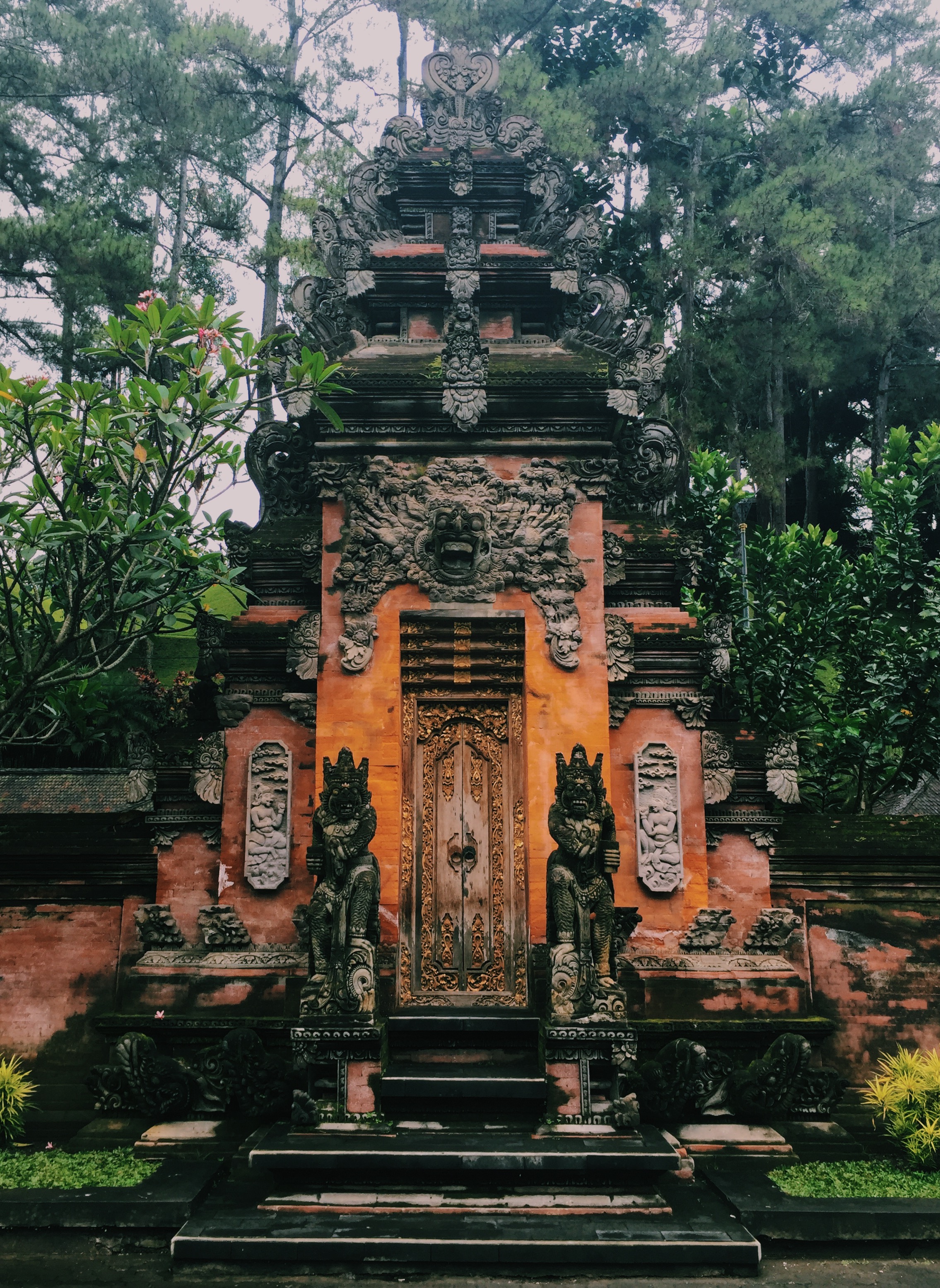
The hike from the road down to Gitgit Waterfall is around 15 minutes each way and you walk along a well-defined path through the tropical plants and scenery. At the end of the path, there is a large waterfall that falls into a pool that you can swim in. There’s even a rope swing that you can use to swing into the cold pool. When we went, there was a second waterfall further down from where Gitgit fell that we were able to actually stand under. The water was relatively shallow further down from the waterfall so we were able to safely wade around and admire the beauty of the area.
9. Sunrise at Mt. Batur (Bali, Indonesia) - December 27, 2016
Starting the ascent to the peak of an active volcano at 4 a.m. in the dark, armed only with a flashlight, was sure one way to start the day! The view from the top of Mt. Batur during sunrise is a much sought after sight and one of the most popular trekking activities in Bali. The hike takes around one hour and 45 minutes on the way up and two hours on the way down. This hike is challenging due to the very large elevation gain and loss experienced throughout. The way up is seriously steep. One of the most steep terrains I’ve hiked, certainly. We hired a guide at the base of the mountain and enjoyed a nice breakfast at the top, where they also sold hot beverages. Here’s the kicker: it was so cloudy and gloomy on the day we hiked up, that we didn’t see the sunrise at all. In fact, we didn’t see much of anything. We still had a great time on the hike though and made the best of it. The way down was a little bit scary with the steep grade and slippery ground.
10. Las Trampas Regional Wilderness (San Ramon, CA) - January 15, 2016
Las Trampas Regional Wilderness is absolutely gorgeous and I recommend it if you’re looking for a new hike in the East Bay. We hiked the moderate 4.7-mile Rocky Ridge Loop Trail that takes you up along a ridge with views of Mount Diablo and the rolling hills of the surrounding area. I saw a reference to Las Trampas as “the tough guy” of the East Bay Regional Park District, and I’m inclined to agree with the poster. Out of the hikes I have taken on in the East Bay, this one was one of the more challenging. And it’s not a cutesy area. The trails can be muddy, and if you run into a muddy, squishy portion of the trail, it is likely you will encounter more terrain like that along the hike. I’ll be back in spring to check out the wildflowers that Las Trampas is famous for.
11. Calero County Park (San Jose, CA) - January 16, 2016
After Mother Nature decided to disrupt our original plan of hiking in Uvas Canyon with the recent intense storm conditions, we decided on the nearby Calero Park as a safe alternative. We had never heard of the park, so we scoured the map for the point that we thought would offer us the best views. We decided to make the climb to the top of Bald Peaks Trail. We started on Access Trail to Figueroa Trail, taking the turn for Canada Del Oro Trail at the junction and following that to the junction for Bald Peaks Trail. The views at the top were pretty spectacular and we felt pretty accomplished after the muddy trek up. All-in-all we hiked around seven miles, definitely earning the frozen yogurtwe got first thing afterward.
12. Alamere Falls (Point Reyes National Seashore, Marin County, CA) - January 22, 2016
Starting at the Palomarin Trailhead, the hike to Alamere Falls is 8 miles out and back. The terrain is relatively flat and you get views of the beautiful coastline, crossing multiple bridges through gorgeous groves of trees. The pothole-laden drive to get to the trailhead is probably the most questionable part of the journey, or at least it was for me making the journey right after a period of heavy storms in the Bay Area. I read a review of the trail that said it was pretty after rain, but I would say avoid this one if there have been periods of storms with heavy rainfall recently. When I did this hike, the trail was very muddy and slippery. There were points where I had no choice but to wade through ankle-deep puddles. The turn-off for the Falls was not clearly marked when I did the hike and the few other people that were also on the trail that day were wondering around looking for the turn-off. Apparently there is usually a sign pointing the way. We finally found it and the journey had really just begun. Getting down to the falls in the muddy conditions was difficult to say the least. We had to wade across knee-deep water at the top of the falls to get to the rocks that allowed us to clamber down to the beach for the majestic view of Alamere Falls. The water at the top of the falls was pretty and there were some mini falls, but a few other people and myself decided to forge the way across the water, while most people stayed on the safe side and observed the top of the falls. The rainy conditions had also caused the rocks we had to clamber down to the beach to turn into a mini waterfall. What an adventure! The view was totally worth it though.


